The Town of Wrightsville Beach has a working list of every public spot on the sound side of the island where a street meets the water. It runs from the North End roundabout down past Waynick Boulevard and across to the Harbor Island avenues. For each spot it notes whether the steps work, whether the bulkhead is new or due for replacement, and whether the place needs only cleanup. The list is in the agenda packet for the Parks & Recreation Advisory Committee's November 5 meeting, along with the committee's October 1 minutes.
It also shows the order in which these spots will get attention. The Town's Parks & Recreation Needs Assessment Survey closes November 30, 2026, and it is the most direct way for residents to weigh in on that order.
Forty-Some Spots, Sorted Into Groups
The committee's "Sound Access Points" table covers 43 locations. At the October 1 meeting, Parks & Recreation Director Katie Carus-Childers went through an updated version and crossed off accesses that were occupied by the Cape Fear Public Utility Authority, recently rebuilt, or already scheduled to be rebuilt with a 2028 grant the Town is pursuing.
What remained can be read in five groups:
| Group | Street ends on the Town's list | What the list notes |
|---|---|---|
| Recently rebuilt | West Oxford St., West Fayetteville St., West Columbia St. | Oxford and Fayetteville got new bulkheads and steps in March 2026. Columbia was completed in 2024. |
| Queued for 2028 grant work | Palmetto Dr., Bahama Dr., Bermuda Dr., Bay St., West Greensboro St., West Henderson St., Augusta St., Raleigh St., West Charlotte St., West Atlanta St. | On the Town's list for 2028 grant funding |
| Needs work sooner | West Asheville St. | Requires replacement before the 2028 grant funding |
| Light-touch fixes | Latimer Ave., Chadbourn St., Arrindale St., Bridgers St., Iula St., Sunset St. | Vegetation cleanup, riprap clearing, a missing sign, a hedge |
| Usable shoreline, no steps needed | Taylor St., Wright St., Corbett St., Albright St. | Steps not needed |
A few spots on the list fall outside these groups. The three North End locations, near the roundabout, across from 2604 N. Lumina and across from access 4, all lead to marsh and have no designated water access. Two of them are utility sites, a lift station and a well station. Snyder and Seashore streets sit next to Trailborn property and are not included on the map.
Where the New Steps Already Are
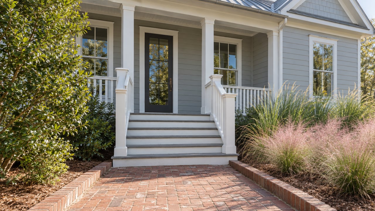
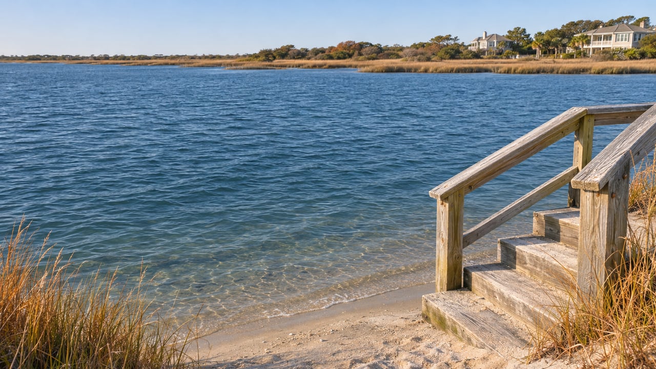
The quickest way to see what the Town is aiming for is to walk to the end of West Oxford Street. Its bulkhead and steps were replaced in March 2026, and the committee's notes call out a "nice built in bench." West Fayetteville Street, one block over, got the same bulkhead-and-steps replacement the same month. West Columbia Street was finished in 2024. Neither Oxford nor Fayetteville has parking, so they work best on foot or by bike.
Those finished street ends matter beyond their own blocks because they set the standard for the rest. At the October meeting, committee chairman Tim Winslow said any bulkhead already scheduled for replacement with grant funding should include steps. On the current list, Augusta, Raleigh, West Charlotte and West Atlanta streets are each slated for 2028 replacement and each marked "not currently scheduled to add steps." Those four are where the steps question gets decided. The difference is a bulkhead you look over versus one you can climb down to reach the water.
The Cheapest Improvements on the List
Not every street end needs a new bulkhead. Several need much less.
At Latimer Avenue and Chadbourn Street, the notes say steps aren't needed because the shoreline slopes, and the work is vegetation cleanup. Arrindale Street and Bridgers Street need their riprap cleared out. Iula Street's CAMA sign is missing or has been moved. At Sunset Street, the note mentions a hedge and says the access "could make accessible with minimal investment."
Wright, Corbett and Albright streets are each marked "no steps needed," and Taylor Street has riprap with no steps needed. Northrop Street is the opposite case, with a short note that steps are needed.
On Harbor Island, the list runs through First through Sixth avenues, Lindy Lane and Live Oak at Shore Drive. It also includes Lookout Harbor at the Keenan's Creek bridge, described as a respite spot where concrete riprap prevents water access.
Put together, the list puts the bulkhead replacements under the 2028 grant and leaves a second set of street ends where clearing vegetation, riprap or a hedge is the work the notes describe.
Why a Coastal Scientist Was on the Agenda
Winslow also said at the October meeting that some accesses may be too expensive to rebuild conventionally, and that others may be good places for a living shoreline. The North Carolina Coastal Federation had offered to talk with the committee about living shorelines and resilient materials. According to the committee's October 1 minutes, Winslow proposed bringing in Kerri Allen to cover living shorelines, coastal-friendly materials, and educational signage or overlooks, after which the committee could "finalize a list" to send to the Board of Aldermen with its recommendation. Allen, the Federation's Coastal Management Program Director, was scheduled for the committee's November 5 meeting.
The Federation already knows this side of the island. Its watershed restoration work on Wrightsville Beach includes a 2020 pervious-paver retrofit at The Workshop coffee shop near Banks Channel, and sound-side stormwater work at the Blockade Runner in 2017. Its project page describes Banks Channel as heavily used for swimming, boating and fishing.
A living shoreline, coastal-friendly materials and an overlook are all on the table as designs for street ends where a new bulkhead is too costly. The recommendation list the committee sends to the Board of Aldermen will show which street ends get which treatment.
Where the Survey Comes In
The committee's list is staff-and-volunteer work. The Needs Assessment Survey asks the wider community. The Town says the responses will be used to develop the 2028–2033 Parks, Recreation, and Open Space Master Plan. The survey's introduction names the Board of Aldermen, the Parks and Recreation Advisory Committee and Parks and Recreation Department staff as the bodies behind it.
By October 1 it had passed 600 responses. The Town also scheduled three public input sessions in the Town Hall Council Chambers on October 20, 21 and 26. The survey's first question asks whether you own property in Wrightsville Beach, live there or rent there.
For anyone who cares about the sound side, here is a practical order of operations:
- Walk to West Oxford or West Fayetteville to see the current standard, steps and all.
- Check the end of your own street, or the nearest one, against the groups above.
- Fill out the Needs Assessment Survey before November 30, 2026, and be specific about water access if it matters to you.
- Watch the Parks & Recreation Advisory Committee agendas on the Town's Parks & Recreation page for the recommendation list headed to the Board of Aldermen.
The same October minutes include one more item for the long-range picture. Staff told the committee the Town was awarded a $1.5 million grant from the Endowment for Phase 1 of the Loop Expansion Project, and that phase covers design and construction-ready documents.
Living on the sound side of the island is about much more than the house itself. It also depends on which public street ends nearby get you to the water. If you're weighing a home near Waynick Boulevard or Harbor Island and want to talk through what's within a short walk of the water, Lynne Galloway is glad to walk those blocks with you. Let's Connect.